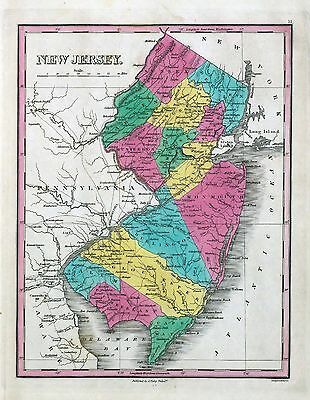
-40%
76 maps OKLAHOMA state PANORAMIC old genealogy HISTORY atlas DVD
$ 3.16
- Description
- Size Guide
Description
Your browser does not support JavaScript. To view this page, enable JavaScript if it is disabled or upgrade your browser.Click Here. Double your traffic. Get Vendio Gallery - Now FREE!
Rare Map Collection
This DVD is part of our Historic Map and Atlas Collection.
We have dozens of Atlas maps on DVD and CD ranging from the 1500s to the 1900s covering many areas and topics.
Please Check our Ebay Store for what's available.
FOR MANY MORE EDUCATIONAL CD TITLES
ON THIS AND MANY OTHER SUBJECTS
PLEASE VISIT OUR EBAY STORE
VERY LARGE HIGH RESOLUTION
MAP COLLECTION
ON DVD!!
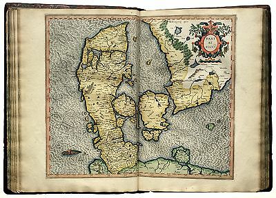
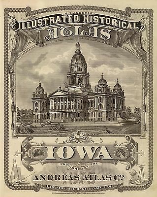
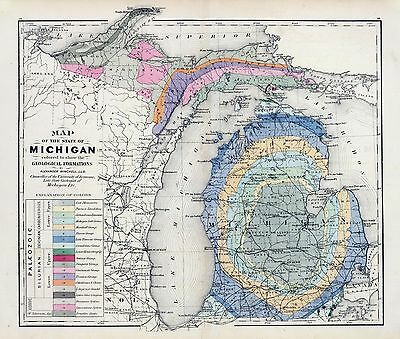
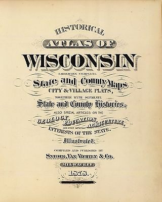
(please see full table of contents and sample illustrations below)
This DVD Contains
76 Maps of
Oklahoma
Including
7 PANORAMIC MAPS
of various Oklahoma Cities
These are scans of the
ORIGINAL
maps by various Cartographers.
on DVD
System requirements
PC or Mac compatible.
Files are simple PDF files with a basic HTML interface (just like viewing a webpage)
Works with ALL versions of Windows.
Maps of
Oklahoma
0041015
Asher & Adams
1874
Indian Terr., Texas NW portion.
0586045
Mitchell, Samuel Augustus
1880
Indian Terr.
0594045
(Mitchell, Samuel Augustus)
1890
Indian Territory.
1780163
Julius Bien & Co.; United States. War Department
1895
Gen. map XXV.
3565132
Rand McNally and Company
1897
Indian Territory, Oklahoma.
ct000224
Map of the Indian and Oklahoma territories.
[S.l.], 1892.
ct000225
Indian territory: compiled under the direction of the Hon. John H. Oberly, Commissioner of Indian Affairs, by C.A. Maxwell.
[S.l.], 1889.
ct000226
Indian territory: compiled from the official records of the records of the General Land Office and other sources under supervision of Geo. U. Mayo.
[S.l.], 1887.
ct000282
Geographical Publishing Co.
Premier series map of Oklahoma and Indian Territory.
[S.l.], 1905.
ct001346
Mitchell, D. T. (David T.)
Mitchell’s sectional map of Kansas / compiled from the field notes in the Surveyor General’s office by David T. Mitchell, U.S. surveyor and land agent, Lecompton, Kansas ; showing the U.S. survey up to 1859.
Lecompton, Kansas : David T. Mitchell , 1859.
ct001893
H.H. Lloyd & Co.
County map of Texas, and Indian Territory.
Chicago, Ill. : Warner & Beers, [1875]
pm007132
Fowler, T. M. (Thaddeus Mortimer), 1842-1922.
Ardmore, Indian Territory, 1891. Drawn by T. M. Fowler.
Morrisville, Pa., T. M. Fowler & James B. Moyer [1891]
pm007140
Fowler, T. M. (Thaddeus Mortimer), 1842-1922.
Bartlesville, Oklahoma 1917 / T. M. Fowler del.
Passaic, N.J. : Fowler & Kelly, c1917.
pm007141
Fowler, T. M. (Thaddeus Mortimer), 1842-1922.
Edmond, Oklahoma Territory, 1891. Drawn by T. M. Fowler.
Morrisville, Pa., T. M. Fowler & James B. Moyer [1891]
pm007142
Fowler, T. M. (Thaddeus Mortimer), 1842-1922.
Fort Reno, Oklahoma Territory 1891. Drawn by T. M. Fowler.
Morrisville, Pa., T. M. Fowler & James B. Moyer [1891]
pm007143
Fowler, T. M. (Thaddeus Mortimer), 1842-1922.
El Reno, Oklahoma Territory 1891. Drawn by T. M. Fowler, Morrisville, Pa.
[1891]
pm007160
Fowler & Kelly.
Aero view of Tulsa, Oklahoma 1918.
Pasaic [sic] N.J. [1918]
pm007162
Fowler & Kelly.
Aero view of Tulsa, Oklahoma, 1918.
Pasaic [sic], N.J. : Fowler & Kelly, [1918]
rr002880
Rand McNally and Company.
Map of the Indian and Oklahoma territories, 1894; compiled from the official records of the General Land Office and other sources.
Chicago, 1894, c1884.
rr005640
Aug. Gast & Co.
Map of South Pacific Rail Road Co. of Missouri.
[n.p.], 1870.
0041014
0152060
0425099
0537036
0586029
0592047
0594030
1012077
1550059
1780047
1780119
1780162
1954095
2094054
2134086
2212260
2743012
2809053
2844064
3254001
3424002
3471009
3548000
3559007
3644003
3888031
4102001
4520036
4557037
4574039
4584070
4587060
4727045
4727046
4740052
4743000
4765092
4866057
5028115
5028116
5028121
5049001
5141000
5370025
5422003
5428003
5755028
5784030
5784044
5802003
5840069
6322183
6718000
6727040
6727041
6921127
Features of this DVD
This auction is for a DVD of the maps listed in electronic form,
NOT
the maps themselves.
These maps are VERY high resolution and can be printed at FULL SCALE or LARGER for framing and display. The results are very high quality and convincing.
Ad and disk copyright 2013
Euriskodata
All Rights Reserved
Powered by
eBay Turbo Lister
The free listing tool. List your items fast and easy and manage your active items.


